Planning note 02 · reviewed 10 August 2026
Solve the exact distance.
There is no single best way to move around Egypt. Rail, metro, road, walking and river transport answer different geographic problems—and each leaves a last segment to plan.
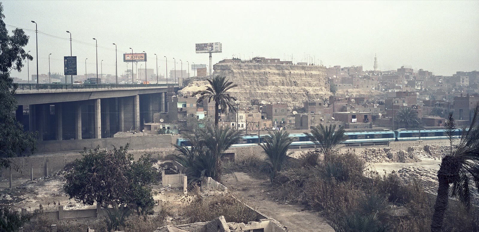
Transport questions become clearer when they include a start, an end and a purpose. “Is the train good?” is too broad. “Does the current train from my Cairo departure station reach Alexandria early enough for one coastal cluster, with a confirmed return?” can be checked. The same method applies within cities: identify the exact gate, landing or street rather than using a district name as the destination.
Separate the intercity journey from both ends
Egyptian National Railways connects major cities along the Nile corridor and to Alexandria, but schedules, categories, booking procedures and service conditions can change. Use the operator’s current channel for the journey you intend to take. Then add the trip from accommodation to the departure station, arrival procedures, and movement from the destination station to the first real stop.
A domestic flight may reduce time in motion between distant cities while adding airport transfers, check-in requirements and schedule sensitivity. Long-distance road services and private transfers solve other routes. Compare total door-to-door time and flexibility rather than only the headline duration.
| Mode | Strong use | Hidden question |
|---|---|---|
| Intercity rail | Major city pairs on the network | Which station and what is the final transfer? |
| Domestic flight | Large distance with limited ground time | How long do both airport stages require? |
| Road service | Routes or departure patterns rail does not match | Where exactly are boarding and arrival? |
| Arranged vehicle | Point-to-point or multi-stop local movement | What are the route, wait and return terms? |
Use Cairo Metro where the line matches
The Cairo Metro can bypass surface traffic for journeys that begin and end near useful stations. It does not make every attraction metro-adjacent. Check the current map and operating information, identify the station exit that best serves the destination and plan the walk or short ride beyond it. Crowding changes the experience and may affect travellers with luggage or limited mobility.
Follow posted carriage and passenger rules. If you are uncertain about a platform or interchange, ask staff rather than boarding by guess. Keep belongings controlled as you would on any busy urban network, and do not block doors while checking a map.
Treat taxis and app rides as arrangements
Hired cars can solve direct gaps, especially between districts or from a station to a site entrance. Enter or show the exact destination, verify the vehicle where an app provides details and confirm any price or meter expectation appropriate to the service before the journey. An offline map helps you understand direction but should not be used to provoke conflict over a small route variation caused by traffic or road access.
Large stations, hotels and heritage sites often have more than one entrance. Choose a visible meeting point, share it clearly and keep a backup communication plan.
Walk inside a cluster
Walking is often the best way to read a compact historic area. It is not automatically the best connection between areas. Heat, traffic, uneven paving, crossings and construction can turn a short map distance into a demanding segment. Use daylight and local conditions, and choose footwear for the ground rather than for photographs.
Travellers with mobility needs should seek current, site-specific information. “Accessible city” and “not accessible” are both too general: vehicles, station lifts, curb conditions, boat boarding and ancient surfaces present different barriers. Ask the operator or site about the exact stage you need.
Make river movement explicit
In Luxor and Aswan, public ferries, motorboats and feluccas are not interchangeable. A ferry serves a defined crossing; a motorboat may follow an agreed route; a felucca depends on wind and is often chosen for the experience itself. Confirm landing, destination, return, duration, price and safety conditions before departure. Do not use an uncertain boat connection immediately before a fixed train or flight.
Build a transport card for each fixed journey
- Write the exact start and finish.
- Name the primary mode and its official information source.
- Add the first and last segment.
- Save the destination in English and Arabic where practical.
- Choose a buffer and an alternative if the connection matters.
This small exercise turns a vague itinerary into a route that can survive real streets, stations and riverbanks.
Next planning noteBuild a monument day that leaves room to look→